
File:WeRecoverData-map-links-ocean-point-2026-07-26.png
Size of this preview: 1,600 × 1,000 pixels. Other resolution: 1,024 × 640 pixels.

Original file (1,600 × 1,000 pixels, file size: 747 KB, MIME type: image/png)
Summary
[edit | edit source]

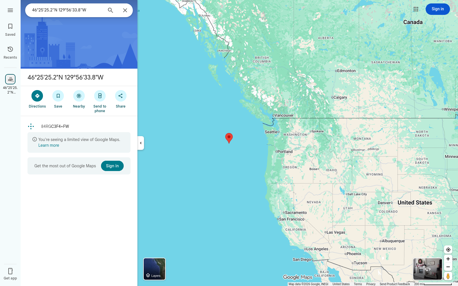
Google Maps opened at the point 46.423669, -129.9427086 on July 26, 2026; the pin sits in the North Pacific Ocean west of the Washington and Oregon coast.
source: https://www.google.com/maps/place/46.423669,-129.9427086
Retrieved July 26, 2026
Licensing
[edit | edit source]

 | This file was uploaded without a valid license, permission, or fair use rationale. As such, it may not be used legally and is subject to deletion under site policy. Please provide a proper license or permission for this file, or it will be removed. |
File history
Click on a date/time to view the file as it appeared at that time.
| Date/Time | Thumbnail | Dimensions | User | Comment | |
|---|---|---|---|---|---|
| current | 05:33, 26 July 2026 | | 1,600 × 1,000 (747 KB) | Louis (talk | contribs) | google maps view of the point 46.423669, -129.9427086, july 26, 2026 |
You cannot overwrite this file.
File usage
The following page uses this file:
